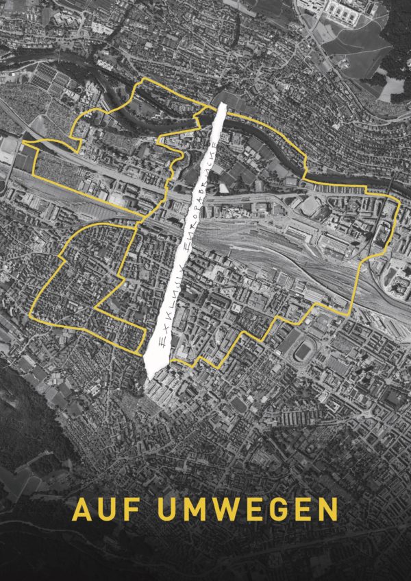
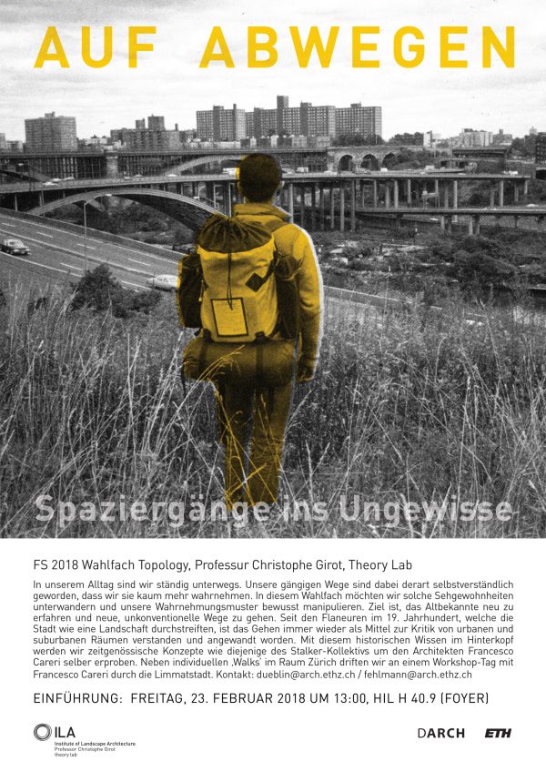
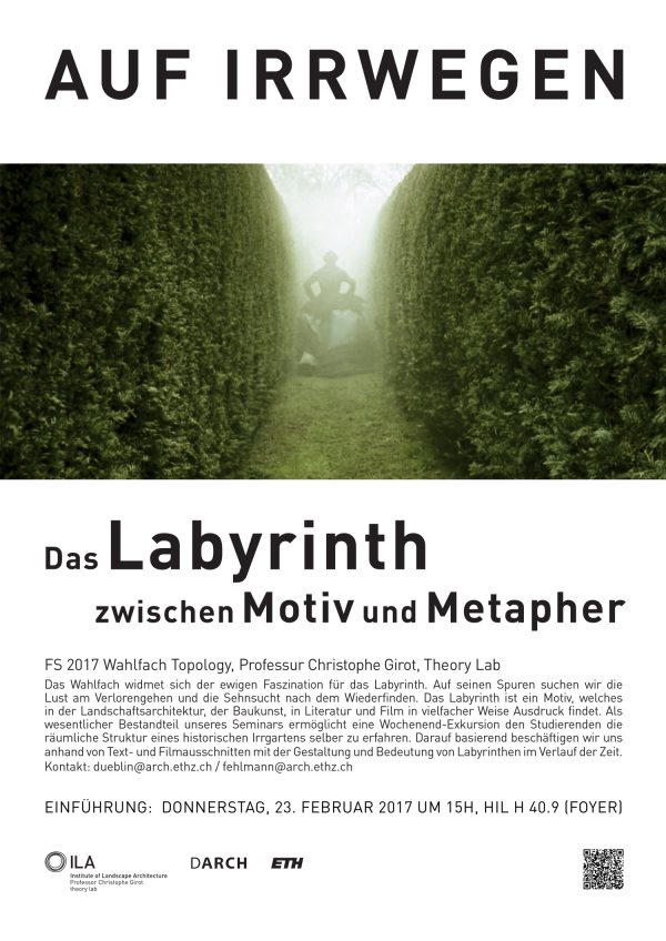
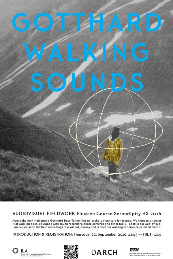
This research and teaching project examines the relation between existing path systems and the creative possibilities of the walking subject in the context of landscape architecture and urban development.
With the aid of old maps, aerial photographs and experimental dérives, one can draw up hitherto lacking maps of influences, maps whose inevitable imprecision at this early stage is no worse than that of the first navigational charts.

 Myriam Uzor
 jrebsame
 Patrick Düblin
 Patrick Düblin
 Magdalena Kaufmann
 Luisa Overath
 Benedikt Kowalewski